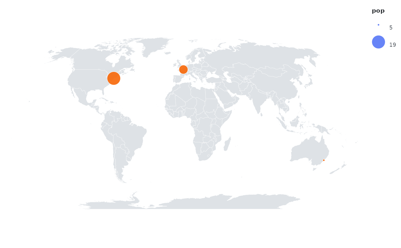
Places points on a map using the active projection. Use inside a plot that
also has an orb_map() layer, mapping x to longitude and y to latitude.
Arguments
- ...
Aesthetic mappings for this layer only, as
channel = column.- data
Optional data frame overriding the plot data.
- size
Point radius in pixels when
sizeis not mapped (default 3.2).- colour
Fixed colour used when the
colourchannel is not mapped.- alpha
Opacity between 0 and 1.
- stroke
Outline width in pixels.
Examples
cities <- data.frame(long = c(2.35, -74, 151.2), lat = c(48.86, 40.7, -33.87),
                     pop = c(11, 19, 5))
orb(cities, x = long, y = lat, size = pop) +
  orb_map() + orb_points(colour = "#F76707") + orb_coord_map("robinson")
#> <orb_spec>
#>   data:   3 rows x 3 columns
#>   mapping: x, y, size
#>   layers:  map + points